Practical Guide to Participatory Mapping Methods
Participatory mapping is a powerful approach that fosters community engagement in spatial decision-making. This guide aims to provide practical insights into various participatory mapping methods, their applications, and how they can positively impact local ecosystems and communities.
Understanding Participatory Mapping
Participatory mapping is often defined as a collaborative process where community members contribute their knowledge and perspectives regarding geographical spaces. This technique can be particularly effective in addressing local issues, as it allows for diverse input that may not be captured through traditional mapping methods. According to research, engaging communities in mapping activities can enhance local ownership and improve the relevance of the outcomes.

"Participatory mapping not only visualizes but also empowers communities to articulate their needs and priorities." - Community Development Expert
Common Methods of Participatory Mapping
Various methods can be employed in participatory mapping, each with unique benefits and challenges. Here are a few commonly used approaches:
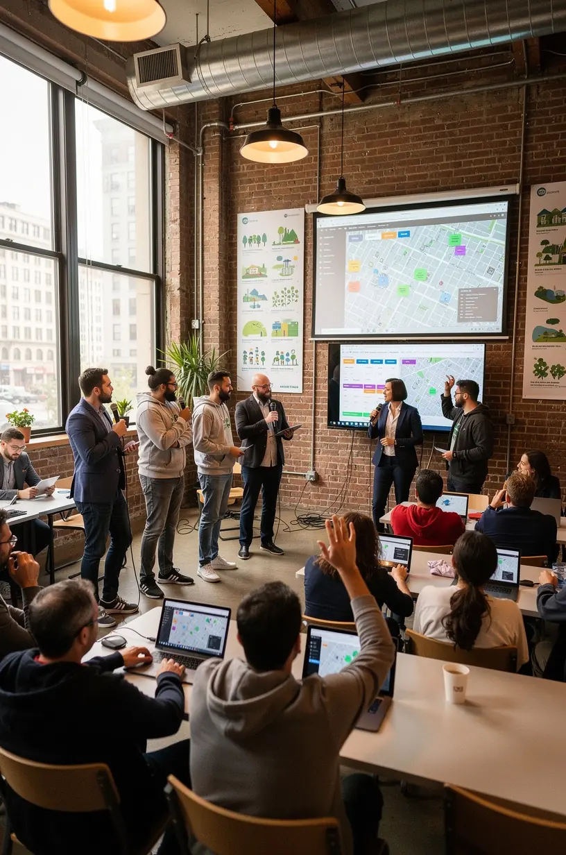
- Community Workshops: These are organized gatherings where participants collaborate on mapping their local environment. Often, workshops include discussions, drawing, and digital mapping techniques. Typical durations range from a few hours to several days.
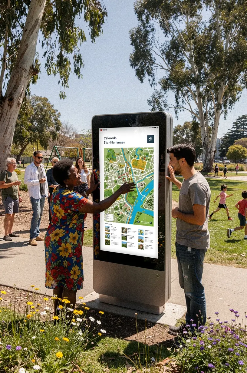
- Mobile Mapping: Utilizing smartphones and apps can facilitate real-time data collection during community walks. This method often requires prior training to maximize effectiveness.
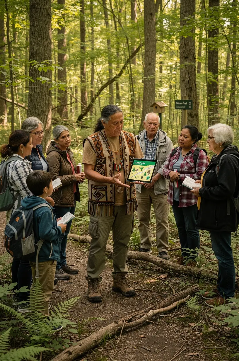
- Story Mapping: This technique combines narratives with maps, allowing community members to share personal stories linked to specific locations. While this method can be enriching, it typically involves a longer commitment to gather and curate stories.
Implementing Participatory Mapping
To effectively implement participatory mapping, several considerations should be made:
- Define Objectives: Clearly articulate what you aim to achieve with the mapping project. Establishing objectives helps guide the process and maintain focus.
- Engage the Community: Encourage diverse participation to ensure that multiple perspectives are represented. Experts recommend reaching out to local organizations to broaden engagement.
- Utilize Appropriate Tools: While some mapping efforts may employ sophisticated GIS software, many communities thrive with basic materials like paper, markers, and local knowledge. Choose methods that suit the community's capacity and needs.
Challenges and Considerations
While participatory mapping can yield valuable insights, it is essential to acknowledge potential challenges. According to industry experts, these may include:
- Time Commitment: Participatory mapping processes often require significant time investment from both facilitators and participants.
- Technical Skills: Some methods may involve a learning curve that could deter community members unfamiliar with mapping technologies.
- Facilitator Bias: It is critical for facilitators to remain neutral, as bias can influence the mapping outcomes and diminish community trust.
Conclusion
Participatory mapping represents a valuable approach to enhance community engagement and address local issues. By understanding various methods and their applications, communities can leverage their collective knowledge to create meaningful spatial representations. While challenges exist, the benefits of inclusivity and richer data often outweigh the hurdles. As communities navigate this process, a focus on education and collaboration can lead to powerful outcomes that reflect the true essence of local ecosystems.